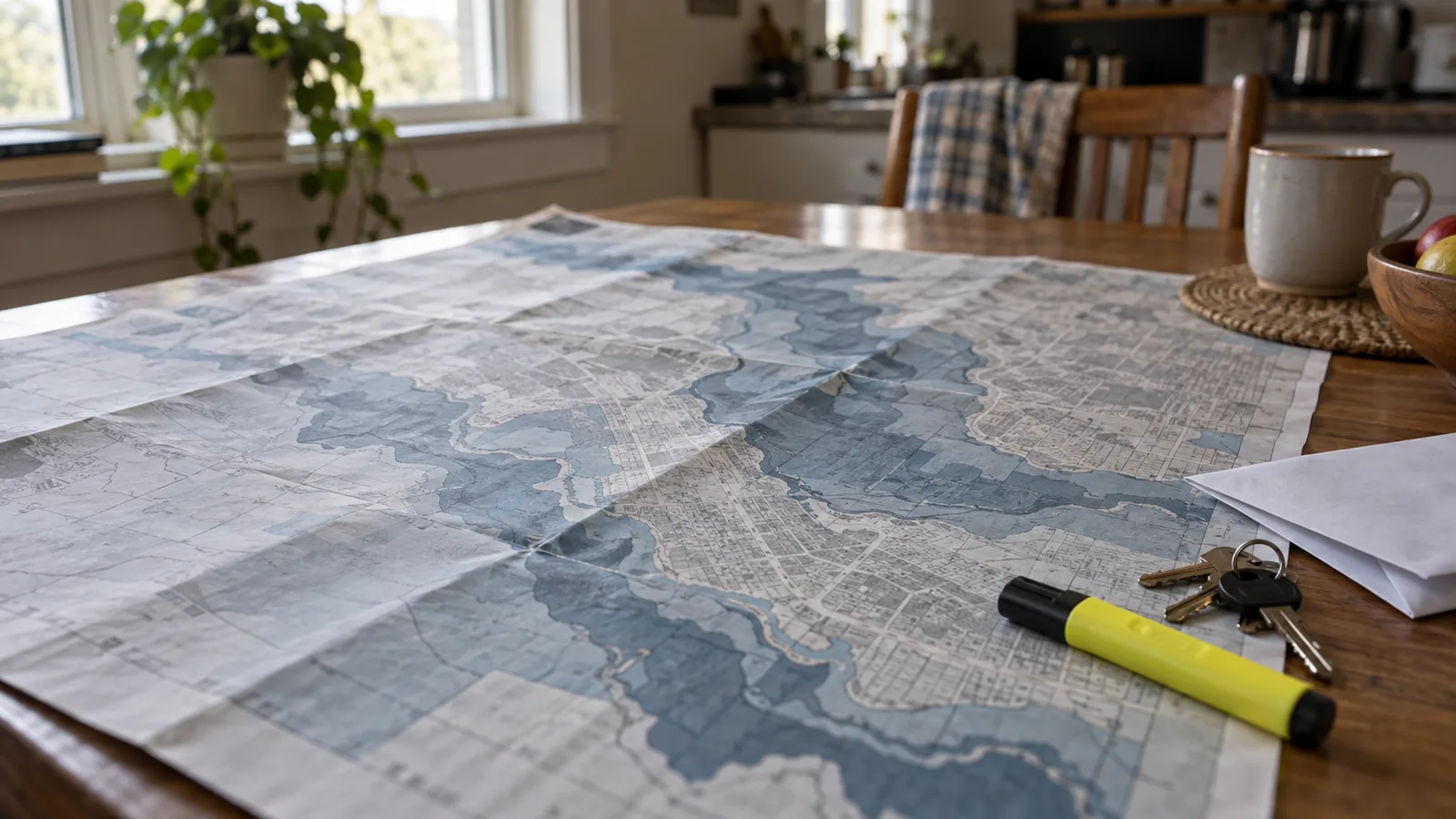

A flood zone map is not a forecast and not a promise. It is an insurance and building document, and reading it as a statement about whether your house will flood is the most common mistake people make with it.
Understood correctly it answers three useful questions: what your lender will require, what your insurance will cost, and what the rules are if you build.
What the Letters Mean
FEMA publishes the Flood Insurance Rate Map, and the zones on it describe the chance of flooding in any given year, not over a lifetime.
Zones A and AE are the Special Flood Hazard Area — a one per cent annual chance of flooding. This is what people call the hundred-year floodplain, and that name causes more confusion than any other term in the field. It does not mean once a century. It means a one in a hundred chance every year, which over a thirty-year mortgage is roughly a one in four chance of happening at least once.
Zones V and VE are coastal high hazard: the same one per cent annual chance, plus wave action. Building requirements are stricter because moving water with waves behind it destroys differently.
Flood zone X covers moderate and minimal risk — outside the one per cent area. This is where most properties sit and where most people conclude they're safe. They are less exposed, not unexposed, and a substantial proportion of flood insurance claims come from these zones.
Zone D means the risk is undetermined because nobody has studied it. Not low. Unknown.
The flood insurance rate map also carries base flood elevation — the height water is expected to reach in that one per cent event. For anyone building, raising equipment or arguing about a premium, that number matters more than the letter.
How to Look Yours Up, and What It Doesn't Cover
FEMA's Flood Map Service Center takes an address and returns the current map panel. Many counties publish their own viewer, and both are free.
Three limits are worth knowing before you draw conclusions from it.
It's about rivers and coasts, largely. The mapping is built around riverine and coastal flooding. Water that arrives because a drain blocked, a culvert overflowed, or rain simply fell faster than the ground could take it is frequently not represented — and that kind of flooding happens everywhere, including uphill.
It has a date. Panels are revised as development changes runoff and as modelling improves. Somewhere that was Zone X a decade ago may not be now, and the reverse happens too.
It doesn't know about your property. A map panel covers an area. Whether your particular finished floor sits above or below the base flood elevation is a survey question, and for a borderline property an elevation certificate is the document that settles it — sometimes substantially in your favour on price.
The flood map tells you about long-term risk. For what is happening right now, that's Flash Flood Warnings and the Live Emergency Map.
Flood Zone or Evacuation Zone
These two get confused constantly, and the confusion is dangerous in both directions.
| FEMA flood zone | Hurricane evacuation zone | |
|---|---|---|
| Published by | FEMA | Your county |
| Based on | Annual probability of flooding | Storm surge modelling |
| Tells you | Insurance and building requirements | When to leave |
| Changes | On map revision, every few years | On reassessment, and during an event |
| Labelled | A, AE, V, VE, X, D | Usually A to E, varies by county |
| Act on it | When buying, building or insuring | When an order is issued |
A house can be in Zone X and in evacuation Zone A. It can also be in Zone AE and never ordered to evacuate. They answer different questions and neither substitutes for the other — Hurricane Evacuation Zones & Routes covers the second.
Look your address up once, write down the zone and the base flood elevation, and then act on it: cover, and moving the irreplaceable things up a floor, in Flood Preparedness.
FAQ: Flood Maps & Zones
How do I find my flood zone?
FEMA's Flood Map Service Center takes an address and returns the current panel. Many counties publish their own viewer as well. Both are free.
What does Zone X mean?
Moderate to minimal risk — outside the one per cent annual chance area. It does not mean no risk, and a large share of flood claims come from these zones.
What is the 100-year floodplain?
An unhelpful nickname for a one per cent annual chance of flooding. Over a thirty-year mortgage that's roughly a one in four chance of flooding at least once.
Is my flood zone the same as my evacuation zone?
No. Flood zones are FEMA insurance and building maps. Evacuation zones come from your county and are based on storm surge. A property can be in Zone X and evacuation Zone A.
Does the map show all flood risk?
No. It's built around riverine and coastal flooding. Drainage failures and intense rainfall on saturated or paved ground cause flooding the map does not represent.
Can my zone change?
Yes. Panels are revised as development alters runoff and modelling improves, in both directions. Re-check rather than relying on what you were told years ago.
Sources
- FEMA — Flood Insurance Rate Maps, zone definitions and the Flood Map Service Center
- FEMA and the National Flood Insurance Program — Special Flood Hazard Area and base flood elevation
- Ready.gov — flood risk
This page describes long-term risk mapping and is not insurance advice. For current conditions see the Live Emergency Map. When a warning is active, follow local authorities and emergency services before any general guidance. See our Editorial Policy and Sources & Fact-Checking.